I have a website: https://sparkradar.app and an app https://github.com/tgranz/SparkRadarWX
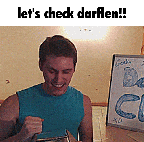
Also on Darflen (https://darflen.com) as BusyBird15.
Not on X, Reddit (got banned smh), Bluesky, Instagram, Youtube, TikTok, etc. but am on Discord
I also own @wasteof_weather
cars these days have too many gadgets. tried to reverse and it played a video of somebody getting run over by a car
me when I get bored in school:
need help install lineage on smasnug tab a9+, orangefox say no rom, twrp no work with touchscreen need help pls


 heart's low on battery need you to plug it in
 Wild how everyone criticized this post then a whole freaking event is held that preached the same message of salvation to hundreds of thousands of people. What has the wasteof community come to.
Charlie Kirk was in the middle of speaking when he was shot. Those were his last words. He definitely did not think it would be his last day.
Life is not guaranteed, and what will happen when it’s over? The only way to have true life now or for eternity is trusting in Jesus. If you don’t trust him, you need him.
I used to be anxious and living for the approval of everyone around me. I was saved by Jesus on July 4, 2023 and now my life has totally changed. The only thing that saved me was the power of God, not self-help or anything like that.
I didn’t agree with Charlie Kirk on a lot of things, but as far as I know, we would have agreed on this.