comments
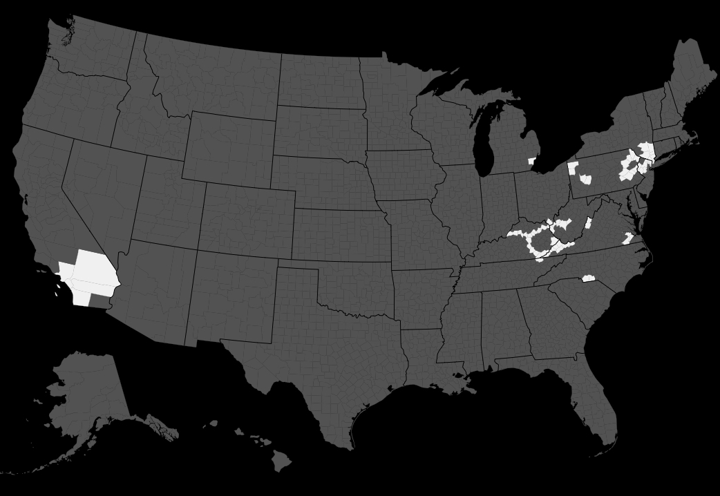
Doing a counties map is pretty hardcore, I always forget precisely what counties I go to
Using roads really helps for me. I might be missing a couple from when I was a lot younger, but nowadays when I go far enough that it’s a new place it’ll stick out in my head. I’ll sometimes look before or after what counties I’ll be in just cause I have fun visualizing the trip or seeing how it adds to where I’ve been
I have a map down to the township (6×6mile divisions inside counties), but im not sure that i want to post it
That does sound like it has potential to be too revealing. How’d you make it?
It’s just for my state, and we canoe every summer for multiple weeks. On our drives, I sit with an atlas. I’ve memorized every single highway number, where it goes and everything in my states.
So, when I started my list I could think back and record where I had been, and now it is just being added to as I travel more.
anyway this geography esque post is a reason why you’re the best waste of user
I’ll try to post more I just haven’t been up to much recently lol
If you have any ideas for anything let me know
I would really, really like to do one of these but I don’t want to give out my location.
I might do what counties I’ve been to tho, what site did you use to make this?
